Gorgeous atlas illustrations help kids picture the planet
Take an illustrated journey around the world with this 108-page atlas by Polish designers Aleksandra and Daniel Mizielińscy.
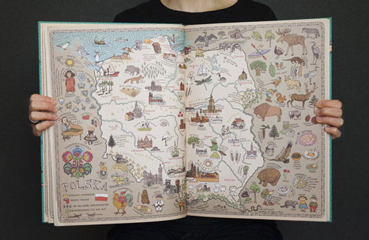
Polish designers Aleksandra and Daniel Mizielińscy of Hipopotam Studio specialise in creating online, interactive fun projects and designing books for children. And this Maps project is a prime example of the latter.
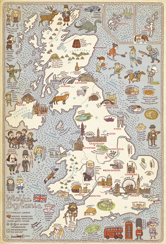
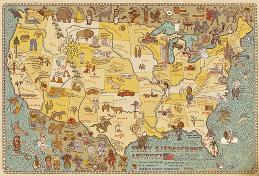
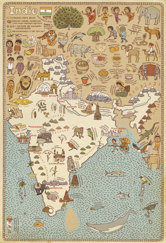
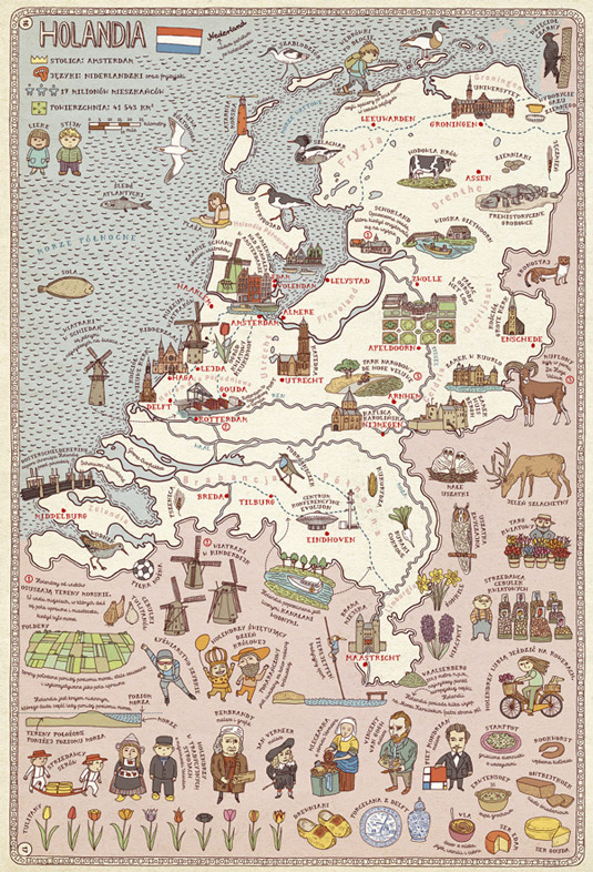
A beautiful, illustrated atlas, the book is composed of 51 maps, full of details and curiosities, presenting six continents and 42 selected countries. The duo created over 4000 illustrations and designed two type faces - Mrs White and Cartographer - just for this book.
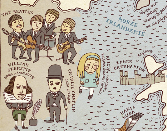
This gorgeous hardcover is a visual feast, featuring illustrations of not only cities, rivers and borders but also places of historical and cultural interest. The duo have also included countless pictograms of eminent personalities, characteristic animals and plants and ways of spending free time in the hope of encouraging readers desire to learn more about each place. (See our map illustration tutorial to make your own custom maps.)
Like this? Read these!
- Illustrator tutorials: amazing ideas to try today!
- Great examples of doodle art
- Brilliant Wordpress tutorial selection
Have you seen any inspiriational illustrations recently? Let us know in the comments!
Daily design news, reviews, how-tos and more, as picked by the editors.

The Creative Bloq team is made up of a group of art and design enthusiasts, and has changed and evolved since Creative Bloq began back in 2012. The current website team consists of eight full-time members of staff: Editor Georgia Coggan, Deputy Editor Rosie Hilder, Ecommerce Editor Beren Neale, Senior News Editor Daniel Piper, Editor, Digital Art and 3D Ian Dean, Tech Reviews Editor Erlingur Einarsson, Ecommerce Writer Beth Nicholls and Staff Writer Natalie Fear, as well as a roster of freelancers from around the world. The ImagineFX magazine team also pitch in, ensuring that content from leading digital art publication ImagineFX is represented on Creative Bloq.
